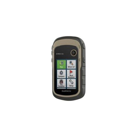
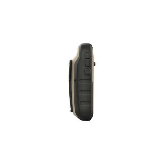
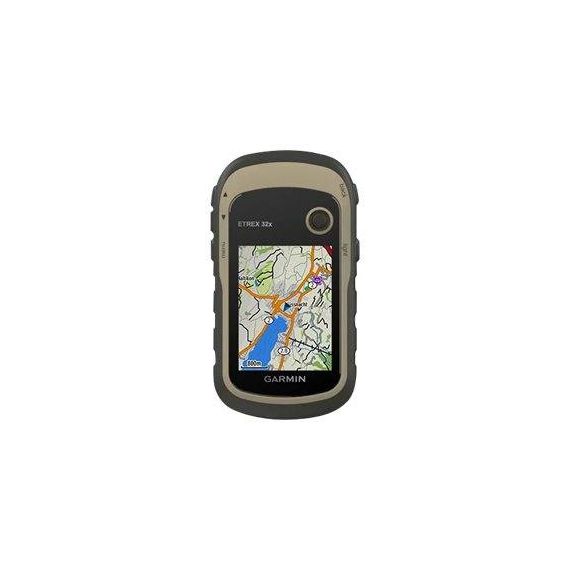
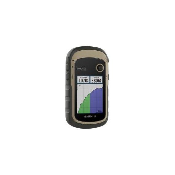
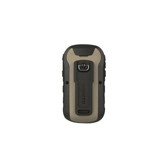
Garmin eTrex 32x / GPS/GLONASS navigator / hiking 2.2" | 010-02257-01
Product Features
- Explore the terrain
Now you can know your surroundings - such as waterways, natural features as well as buildings, international boundaries and more. You can also find thousands of points of interests, including shops, restaurants, universities, car parks and accommodations. - Keep your fix
The eTrex series uses both GPS and GLONASS satellite systems so the receiver has the ability to track in more challenging environments than GPS alone. eTrex 32x adds a 3-axis compass and barometric altimeter, making it easy for you to keep your bearings. - Go anywhere
With an array of compatible mounts, eTrex is designed as an outdoor handheld GPS ideal for use on quad bikes or bicycles, in boats or on foot. Use the auto mount capability and City Navigator NT maps for turn-by-turn driving directions, or use the rugged mount for your motorcycle or quad bike. Wherever you think you might take eTrex, it has the mapping and mounts to get you there.
Special Features
- Sunlight-readable color display with 240 x 320 display pixels for improved readability
- Support for GPS and GLONASS satellite systems allows for tracking in more challenging environments than GPS alone
Product Specification
| Product Type | GPS/GLONASS navigator |
| Recommended Use | Hiking |
| Preloaded Maps | Denmark, Sweden, Norway, Italy, Finland, Switzerland, Austria, Spain, Portugal, Belgium, Ireland, France, Germany, Luxembourg, Netherlands, Great Britain, Andorra, Liechtenstein, Monaco, North Ireland, San Marino, Vatican, Albania, Malta, Iceland |
| Card Reader | microSD |
| Interface | USB |
| Included Software | Garmin TopoActive, Tide Tab |
| Compatible Software | Garmin City Navigator NT, Garmin TOPO, Garmin BlueChart g2, Garmin BirdsEye Satellite Imagery |
| SBAS | EGNOS |
| Aerial | Built-in |
| Internal Memory | 8 GB |
| Features | Photo viewer, custom POIs, automatic routing, Garmin HotFix, Geocaching, Garmin Connect compatible, sun and moon information, area calculation, Point Of Interest (POI), altimeter, electromagnetic compass, ANT+ sensor |
| Display | Display |
| Type | TFT - colour |
| Diagonal Size | 2.2" |
| Display Width | 3.5 cm |
| Display Height | 4.4 cm |
| Display Resolution | 240 x 320 pixels |
| Features | Transflective |
| Navigation | Navigation |
| Waypoints | 2000 |
| Tracks | 200 |
| Tracklog Points | 10000 |
| Routes | 200 |
| Connections | Connections |
| Interfaces | USB |
| Battery | Battery |
| Type | AA type |
| Required Qty | 2 |
| Miscellaneous | Miscellaneous |
| Protection | Waterproof |
| Waterproof Standard | IPX7 |
| Included Accessories | USB cable |
| Dimensions & Weight | Dimensions & Weight |
| Width | 5.4 cm |
| Depth | 3.3 cm |
| Height | 10.3 cm |
| Weight | 141.7 g |

